|
Metairie (Images of America) |
|
|
The Blue Line Streetcar - 1916 |
||
|
|
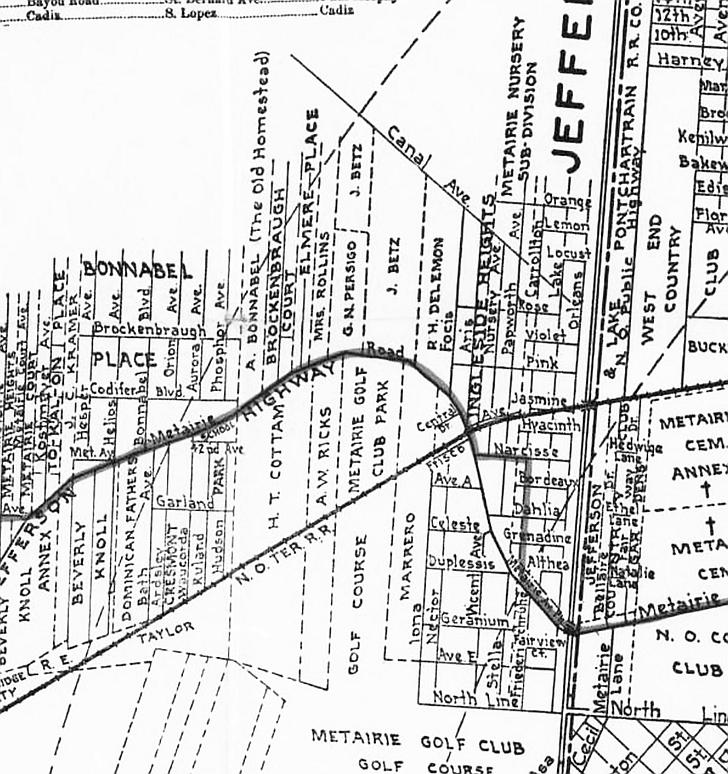 In 1916 the Napoleon Avenue streetcar line was extended from the 17th Street Canal to run along Metairie Road to Shrewsbury Road. It was known as the Blue Line. As had happened in the city, public transportation led to new interest and growth in the Old Metairie area. As automobiles became popular and affordable a ride out to Metairie, long considered “the country”, became less daunting. Pictured is a map of the streetcar route. In 1918 the Papworth family developed the Metairie Ridge Subdivision (top right) near land they used for a plant nursery; a 1954 business advertisement appears below. Mr. Papworth is said to have planted the oak trees along Metairie Road from Avenue A to Metairie’s Carrollton Avenue. (Courtesy the Library of Congress and the Jefferson Parish Yearly Review) 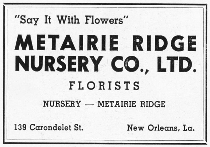
|
|
|
|
||