|
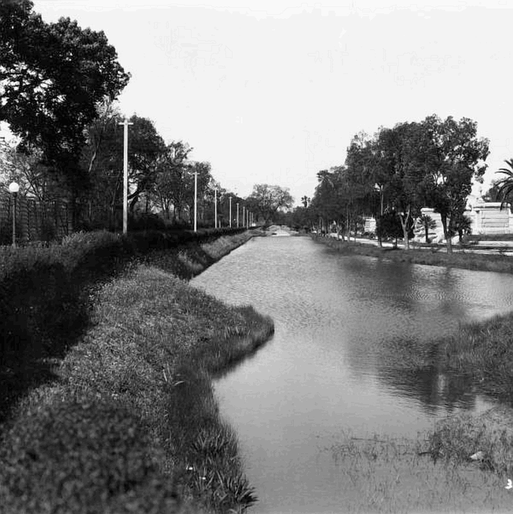
In this 1930s view of Metairie Cemetery, Bayou Metairie flows along Metairie Road. The bayou here was covered during
the 1950s in order to widen the road. One might say that when traveling in the northern-most lane when passing the cemetery
that one is riding upon the ancient Bayou Metairie. (Courtesy of the Louisiana Digital Library.)
 |