|
In
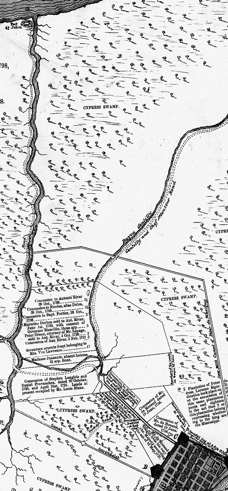
1795 Spanish Governor Carondelet began construction of a canal to connect Rampart St. to Bayou St. John for navigation to
the lake. The canal also served to drain the swamps between the lake and the city. This 1798 plan includes a view of Bayou
St. John at the lake. This 1798 map includes the route of the Carondelet Canal between the city and Bayou St. John.
The turning basin/terminus of the Carondelet Canal at St. Peter and Basin St. was near the present site of the Municipal Auditorium.
Basin St. owes its name to the turning basin. Oyster dealers remained on Rampart St. long after the canal and basin
were covered during the late 1920’s.
 |