|
Joseph H. De Grange in Historical Data of Spanish Fort (Louisiana Quarterly) tells us,
“In1699, Iberville, then located at Biloxi, was informed of a bayou that was an Indian route to the river and his guide
piloted him in a pirogue to an Indian portage...The Choctaws, the Biloxis, Bogue Chittos and Chinchubas, made long, hazardous
trips across Lake Pontchartrain in birchbark canoes. From this portage, now Esplanade street, was a pathway worn from the
travel of Indians from Bayou St. John, who, journeying overland, carried their canoes over Bayou Road to Rampart street, thence
through Hospital street to the highlands on the Mississippi river. Bayou St. John was the route of traffic between Mobile,
Biloxi and the Mississippi river. The various tribes of Indians, — the Tchoupitoulas, Choctaw and Natchez Indians, —
were wont to make an annual visit to New Orleans on New Year's day to exchange compliments with the Governor and city authorities
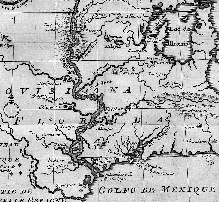
and to receive presents stipulated by treaty”. This 1720 map designates Native American territories as they existed
at that time.
 |