|
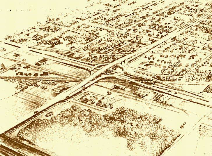
Above is a 1956 drawing of Palmer and Baker’s plans for the Causeway/Airline Highway traffic loop which was completed
in 1957. In 1954 Sheriff Clancy wrote, “We believe that one of the most popular portions of our Program of the Future
for East Jefferson will be the proposed ELIMINATION OF GRADE CROSSINGS, with underpasses and overpasses”. Below the
24 mile Lake Pontchartrain Causeway, which would be the world’s longest bridge, is near completion in this 1956 aerial
view. It was planned to connect Jefferson and Orleans Parish to the north shore at Mandeville and to serve as a link in the
direct route from Airline Highway to Jackson, Mississippi, Memphis, Tennessee, Chicago, Illinois and other major cities from
U. S. Highway 190 and from the Old Spanish Trail (Jefferson Highway in Jefferson Parish) which ran from California to Florida.
(Courtesy of the Jefferson Parish Yearly Review.)
 |