|
New Orleans Maps |
|
|
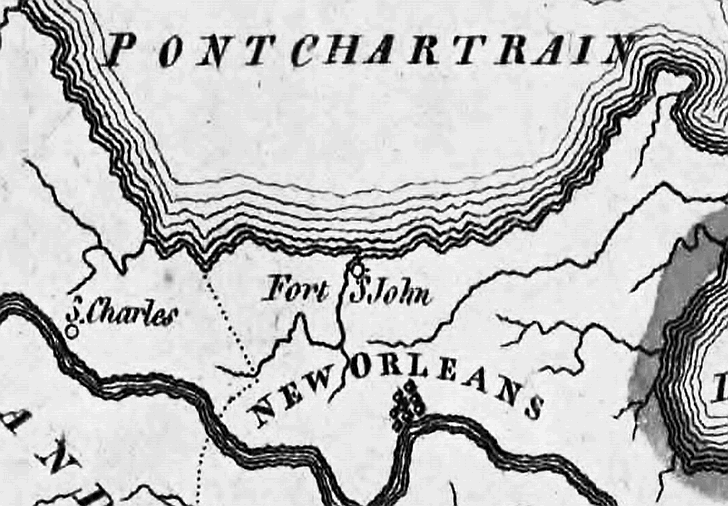
1814 Bayou Metairie
|
|||||||||||||||||||||||||||||||||||||||||||||||||||||||||||||||||||||||
|
Site Map
|
|
|
|||||||||||||||||||||||||||||||||||||||||||||||||||||||||||||||||||||
|
|
|||||||||||||||||||||||||||||||||||||||||||||||||||||||||||||||||||||||