|
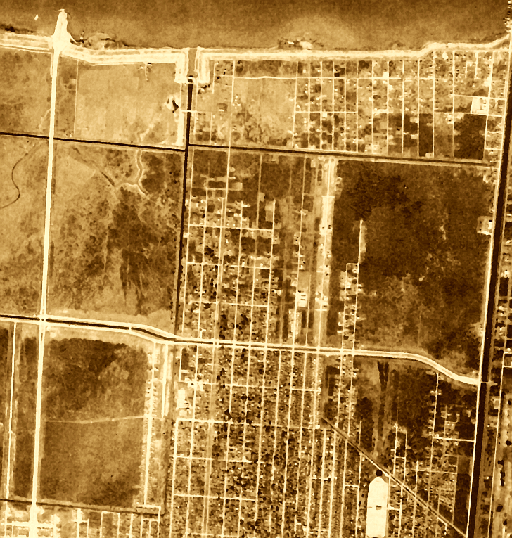
By 1949 pumping station No. 2 at the head of the Suburban Canal (between Clearview Parkway and Cleary Avenue) had been
built. Efforts were underway to dredge lake to build a ten foot levee along the Metairie shore. The 1956 aerial view (above)
includes the beginning phase of the Lake Pontchartrain Causeway (upper left); the toll booth area is under construction but
the bridge itself has not begun to be built. Traces of Indian Bayou and the Bayou Tchoupitoulas still remain and can be seen
in the upper left quadrant. Bucktown is in the upper right corner, relatively isolated from other developed areas. Below,
Students at East End school play during recess in 1956 with wilderness beyond them. During the early 1900s the East End school
opened as a one-room schoolhouse. (Courtesy of the Jefferson Parish Yearly Review.)
 |