|
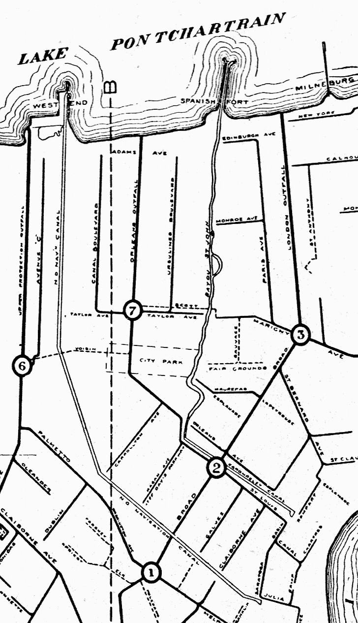
The opening of the New Basin Canal to West End in 1838 (and its famous shell road) allowed the area to thrive as an additional
resort and entertainment area. This 1919 map shows the new canal (labeled N.O. Navigation Canal) as well as the older Carondelet
Canal which led to Bayou St. John.
 |