|
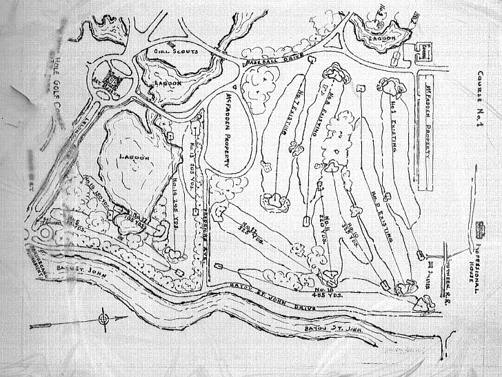
This 1940s map illustrates the park's features and boundaries after WPA workers cleared and developed the northern extension.
Note that the yacht basin still existed along Bayou St. John and served to connect the park's lagoons to the bayou. Also
of interest is the USBS radio station on Marconi Drive at Robert E. Lee Boulevard and the lake designed in
the shape of Lake Pontchartrain. The Botanical Garden was named "Plasiance Rose Garden" and the adjacent pool
was in operation. (LDL)
 |