New Orleans Maps

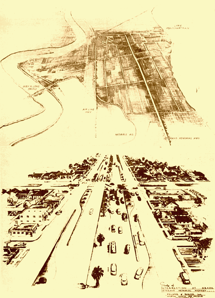
1954 Plan for Veteran's Highway

Site Map

Home
1700s
1800s
1900s
2000s
Unknown Dates
Photo Gallery

Sponsored Links


Palmer and Baker, Inc. produced these sketches of the proposed Veterans Highway which appeared in the 1954 edition of the Jefferson Parish Yearly Review. With a $4,000,000 budget the highway was to include two 3-lane expressways with service roads on each side. It would span Metairie from Orleans Parish to St. Charles Parish while running midway between Lake Pontchartrain and Airline Highway. Like several other early proposals, the plan didn’t completely pan out – the service roads were never built. (Courtesy of the Jefferson Parish Yearly Review.)

Maps/Metp110.gif