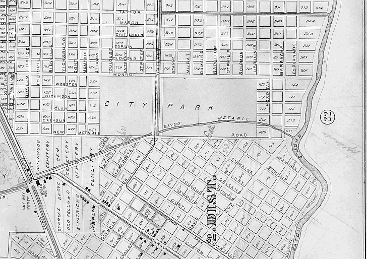
In 1898 Orleans Avenue was extended to Metairie Road which bordered City Park as did St Louis Street, Monroe Street,
and Ursulines. Local firm Daney and Wadill, submitted the “Plan of Existing and Proposed Improvements in the New Orleans
City Park” but the ideas contained are largely attributed to George Grandjean.
Also note that the Halfway
House is included in the lower left corner of the map. Above it are the cemeteries -- Greenwood, Cypress Grove, Odd
Fellows, St. Patrick's, and Hebrew Cemetery.