|
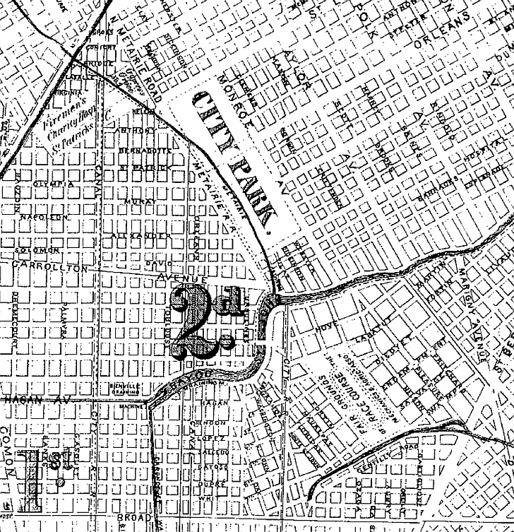
A trip to City Park required a ride from the city by horse and carriage on unimproved roads. Transit companies saw
an opportunity to capitalize on the growing popularity of the park by adding new lines. These afforded easy access
and consequently interest in the park rose which led to the call for park improvements. On the river side of Bayou St. John
the New Orleans City Rail Road Company operated the Esplanade and Bayou Bridge streetcar line beginning June 1, 1861. On the
lake side of the bayou the New Orleans City Rail Road Company (whose route can be viewed on the map below) ran the Bayou Bridge
and City Park streetcar line beginning in the fall of the same year – it became part of the Esplanade line around 1900.
(LDL)
 |