New Orleans Maps

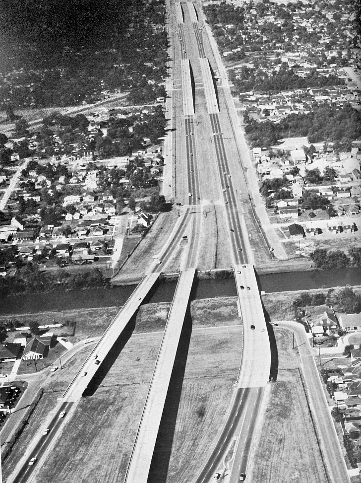
1965 I-10 in Metairie
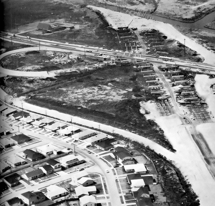
Site Map

Home
1700s
1800s
1900s
2000s
Unknown Dates
Photo Gallery

Sponsored Links


In 1965 the Interstate 10 was being built in central Metairie. It would help ease traffic along the major highways and connect to the nationwide Interstate grid. Here we view Veterans Highway (running east to west near the top) as it intersects with the road work (above). Below is a 1966 view of the Interstate construction over the 17 Street Canal and into Metairie. (Courtesy of the Jefferson Parish Yearly Review.) 

Maps/Metp119b.gif

Maps/Metp119b.gif