|
New Orleans Maps |
|
|
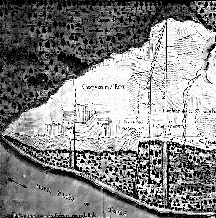
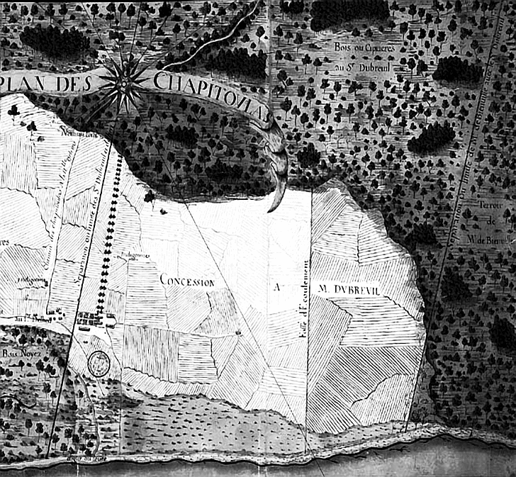
1729 St. Rene (St. Reyne/Sainte Reyne) Concession
|
||||||||||||||||||||||||||||||||||||||||||||||||||||||||||||||||||
|
|

The grants extended from the river to the lake. Nicholas Chauvin De La Freniere’s land included 5000 acres; his home was known as the Elmwood/Lafreniere Plantation (built in what is now River Ridge). While clearing the cypress swamp on which he would grow indigo and sugar cane he donated the lumber to build the first church in New Orleans which would later be replaced by St. Louis Cathedral (he also held the first tavern permit in Louisiana). La Freniere’s sister Barbe Therese and her husband Ignace Hubert de Bellair were early settlers -- Bellair Drive was named after them. Claude Joseph Villars Du Breuil who -- by 1744 owned several plantations with 500 slaves growing indigo and sugar -- owned what has been said to be the finest home on the Tchoupitoulas coast. Du Breuil also built the first plantation levee which led to the creation of the Mississippi River levee system in 1724. Bienville’s land can be seen on the right edge of the map. Part 2 of 2:  |
|
||||||||||||||||||||||||||||||||||||||||||||||||||||||||||||||||
|
|
||||||||||||||||||||||||||||||||||||||||||||||||||||||||||||||||||